


It might be challenging to follow at times, but the Callahan Brook trail (also known as the Miami River trail) offers solitude and beautiful scenery.
Key takeaways
- Distance: 1.7 miles round trip
- Elevation gain: 215 feet
- Hike includes unmarked trail
Hiking the Callahan Brook trail
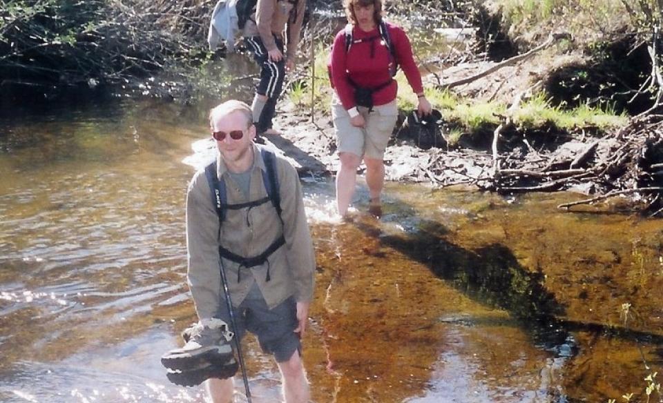
This trail is not recommended for some users, not because of the strenuousness, but because of difficulty to follow. From Perkins Clearing Road, locate the trail on the north side, about 700 feet south of the campsite. It is not signed or marked and not frequently used. This trail is used mainly for short jaunts in the woods and to access the Miami River. The hike is relatively easy as far as difficulty but, as mentioned, tough to follow at times with a very narrow tread.
The Miami River is a wonderful river for photography, birding, and fishing. At the end of the trail you would have to ford the river. On the opposite side a faint path continues, but is much harder to follow.
Callahan Brook Trail in the winter
This is almost never snowshoed in the winter, and the winter parking is on NY-30, on the northern shore of Mason Lake. If you decide on this hike, expect to break trail, and be prepared for all winter conditions.
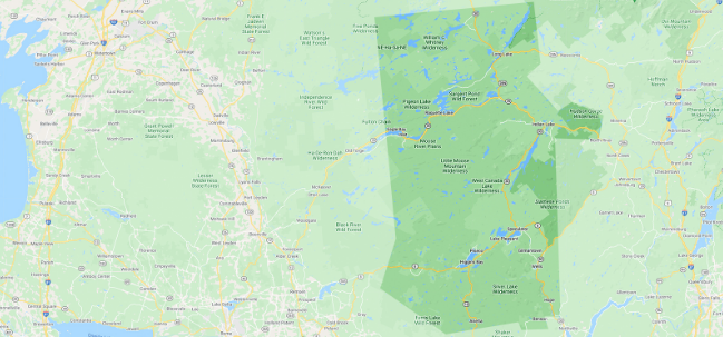
Experience more trails in Hamilton County
Do Callahan Brook and the Miami River sound amazing, but a little more than you want to tackle right now? With hundreds of miles of trails, we can help you find the right hike in the big outdoors.
How to get there
From the intersection of Route 28 and Route 30 in Indian Lake follow Route 30 toward Speculator. Continue for just over 16-miles to Jessup River Road (dirt) on the right. Follow here to the first major campsite on the right, park here.