


Cellar Pond is an interesting backcountry gem that gets very little attention from hikers. The trail, once used heavily, has become less and less padded down. Old relics from logging camps past dot the trail.
Key takeaways
- Distance: 3.4 miles round trip
- Elevation gain: 475 feet
Hiking to Cellar Pond
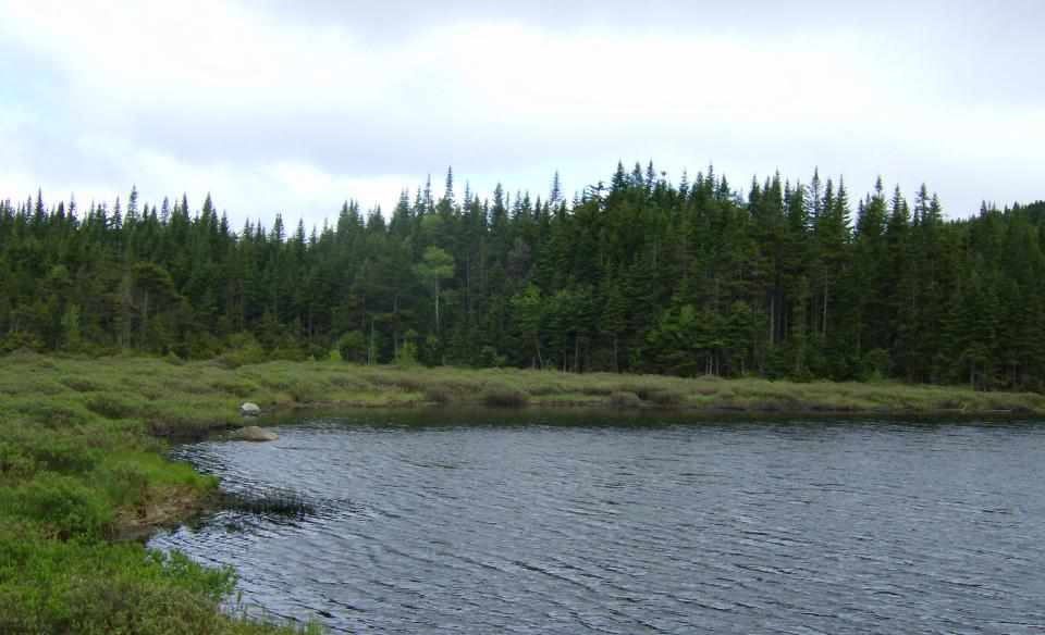
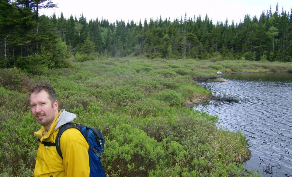
Initially you will be following a dirt jeep road and pass by the remnants of an old camp to your left. The road becomes washed out in a few areas adding to the character of the trail. Soon the trail starts to climb as it builds elevation onto the shoulder of Cellar Mountain. There is a gentle descent as the trail sweeps around an unnamed bump at to the eastern shore of this grassy edged pond.
*As a note, this trail is not maintained by the state, but it is in relatively decent condition.
Cellar Pond in the winter
This is not accessible in winter due to much of Cedar River Road closed to snowmobiles and all of the Moose River Plains Road being closed. It would make for a very long ski or snowshoe. The use of a snowmobile to access the trailhead would be the only real viable option for most visitors. If you decide to head out here via snowmobile, be prepared for all winter conditions.
Experience more trails in Hamilton County
Looking to find some more trails to hike in Hamilton County? With hundreds of miles of trails, we can help you find more amazing hikes in the big outdoors.
Fishing
Shoreline fishing is limited and there is no boat access. This pond might be more of a nice hike rather than a successful fishing adventure. It is reported that brook trout do exist in this small kettle pond.
Special regulations: Always follow state fishing regulations and be sure to pick up a NYS Freshwater Fishing Guide at your local outfitters or regional DEC office.
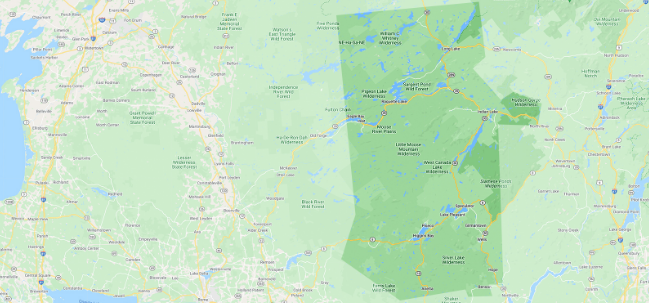
How to get there
From the intersection of Route 28 and Route 30 in the hamlet of Indian Lake follow Route 28/30 toward Blue Mountain Lake. Continue for 2.2 miles to Cedar River Road on the left. Follow Cedar River Road to Wakely Dam camping area. At the Wakely Dam camping area, sign into the register at the building and continue to drive down Moose River Plains Road. This road is quite rough in areas, take your time and drive carefully. Look for an unmarked jeep road on the right at roughly 3.6 miles. Don't attempt to drive this road, even though it looks good, you won't get far and it's very hard to turn-around. The road is the trail.