


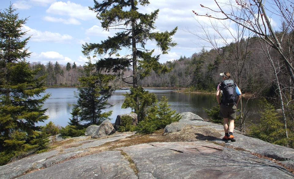
Hiking the Mountain Pond and Cork Mountain Loop utilizes foot trails, multi-use trails, and a forest road. While the footing may be slippery and rough in places, it's an attractive walk through a mixed evergreen and deciduous forest.
Key takeaways
- Distance: 2.1 miles round trip
- Elevation gain: 500 feet
- Hike includes trail junctions
Hiking Mountain Pond and Cork Mountain
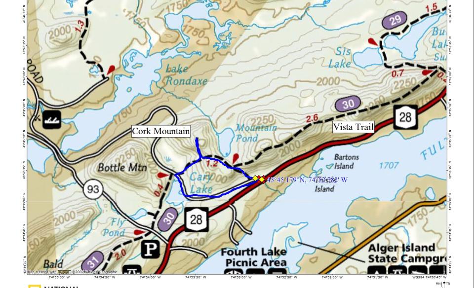
At the trailhead, follow the forest road to the left for about 0.1 mile to a foot trail on the right. Hop onto the foot trail and enjoy a walk in a pretty forest of mixed conifers and evergreens. There will be a decent climb as you approach the Vista Trail, which comes in on the right at around 0.4 miles. The footing is a bit slippery in spots. Mountain Pond comes up soon on the right. A small climb after the pond will bring you to an obscure trail on the right that leads to Cork Mountain at about 0.6 miles in. The hike up Cork is a bit steep and can be tough to follow. There may have been a view from Cork at one time, but it appears to have become quite overgrown. Returning to the loop trail, take a right and continue a short distance to the old forest road you started on at the beginning of the loop. Take a left and hike back to the beginning.
In the winter
This trail can be accessed in the winter, and can be snowshoed, but should not be attempted by cross-country skiers. This doesn't see a lot of traffic during the snowy season, so expect to break trail. Be prepared for all winter conditions, and be careful around frozen bodies of water.
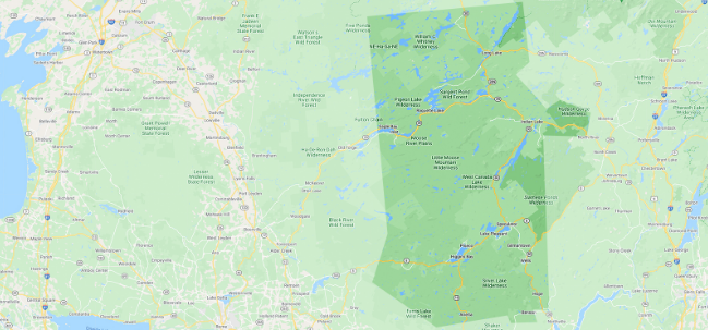
Experience more trails in Hamilton County
Does the hike to Sister Lakes sound amazing, but a little more than you want to tackle right now? With hundreds of miles of trails, we can help you find the right hike in the big outdoors.
How to get there
From the intersection of Route 28 and Big Moose Road in Inlet, continue on Route 28 west toward Old Forge. Continue for 3.6 miles to a very obscure trailhead on the right. This is part of the old multi-use trail that follows Route 28. A large kiosk map sign sits back from the road.