


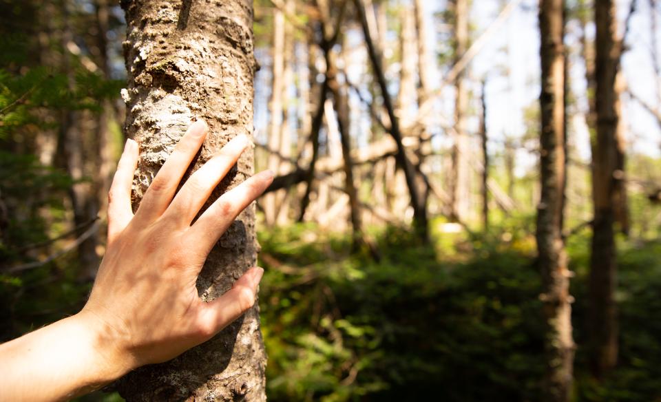
See a few quiet bodies of water along this lovely, mellow trail to Stewart and Indian Lakes. Following Stewart Lake, a reasonable climb continues to the south end of Indian Pond, making for an easy, but well-rounded hike in any season.
Key takeaways
- Distance: 4.6 miles round trip
- Elevation gain: 620 feet
- Hike includes a bridge and road walk
Hiking to Stewart and Indian Lakes
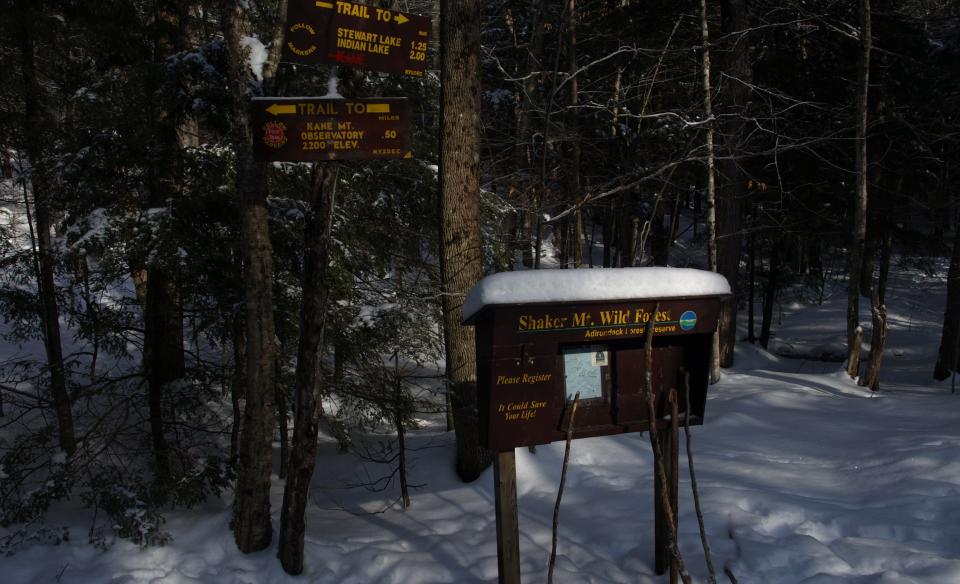
At the trailhead you need to walk along the road another couple hundred feet to access the trail on the right. The trail immediately crosses a wide bridge and slowly ascends above a small unnamed pond. Continue on a steady but easy ascent through a gorgeous hardwood forest to the southern shoulder of Camelhump. About 1.5 miles in you will come to Stewart Lake on your left, which also makes for a perfect destination for a short snowshoe trip for the entire family. Beyond Stewart Pond the trail continues to climb slightly and rather quickly comes to the south end of Indian Pond. There is a one designated primitive tent site at each of the ponds.
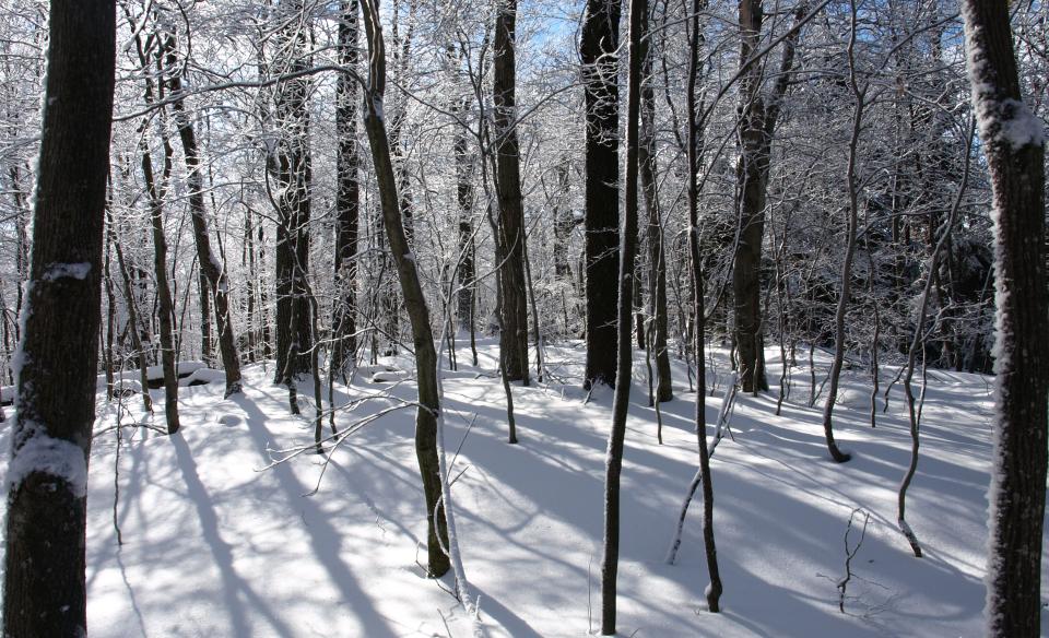
Stewart and Indian Lakes in the winter
This trail is used more as a cross-country ski trail, but also makes for an easy to moderate snowshoe destination. Be prepared for all winter conditions, and take care around frozen bodies of water. There might be some added distance in the winter, depending on road conditions.
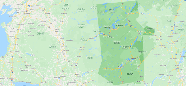
Experience more trails in Hamilton County
Looking to find some more trails to hike in Hamilton County? With hundreds of miles of trails, we can help find the perfect hike for you in the big outdoors.
How to get there
From the intersection of Route 8 and Route 10 in Piseco, follow Route 10 South toward Pine Lake. Just fewer than 2 miles past Pine Lake, take a left onto Green Lake Road. Follow Green Lake Road to the Kane Mountain trailhead parking area on the left.
The short road to the actual trailhead in winter can be in unmaintained condition, be sure to park in a safe location.