


Notice: Due to flooding, the dam has broken and this trail cannot be completed fully.
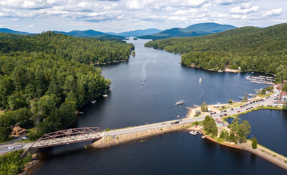
The Spillway Trail runs between Long Lake and Park Pond and is an excellent place for a very short family walk, a picnic, or to cast a few lines for some fantastic trout.
Key takeaways
- Distance: 0.7 miles round trip
- Elevation gain: Less than 10 feet
Hiking the Spillway Trail
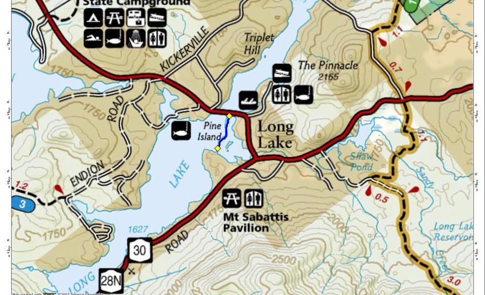
From Route 30 you will walk along a gravel path that leads to a steel bridge over the spillway. Cross the steel bridge and watch as the water flows so smoothly over dam. The opposite side of the dam will bring you a very narrow separation of the two water bodies. The footing is more like a trail you could be on any place in the park. It is well used and eventually ends at private property. The trail will continue but you should turn around at this point.
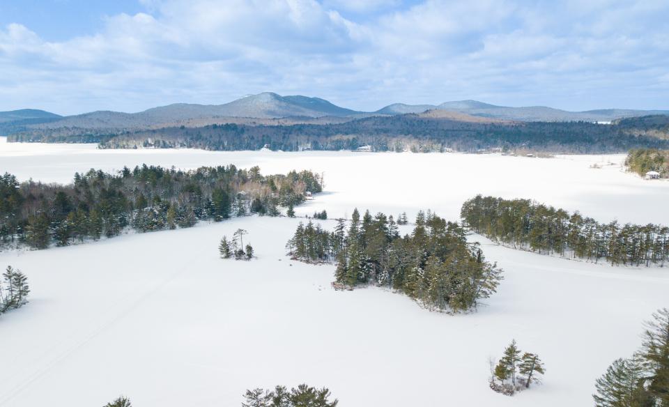
In the winter
While not used in winter it could potentially be a place to introduce kids to the sport of snowshoeing. This trail is not recommended for cross-country skiing.
Experience more trails in Hamilton County
Looking to find some more trails to hike in Hamilton County? With hundreds of miles of trails, we can help you find more amazing hikes in the big outdoors.
How to get there
From the intersection of Route 28 and Route 30 in the Town of Long Lake follow Route 30 toward Tupper Lake. Continue to the Town Beach and park there. The spillway is directly across the road.