


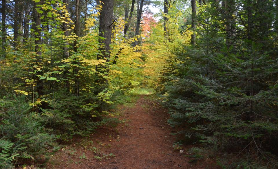
The secluded Kunjamuk Trail passes through towering pines, taking the path past Round Pond and along creeks as you stroll through the hardwoods and rolling hills.
Key takeaways
- Distance: 9.4 miles
- Elevation gain: 850 feet
- Hike includes trail junctions
- Based on a point-to-point hike from the northern trailhead
Hiking the Kunjamuk Trail
This is the hike along the Kunjamuk River. This trail can be started from either end, but a car spot to make it a point-to-point thru hike is the best way to enjoy it. A downfall is the drive from one end to the other to spot a car is rather lengthy, but it's worth the added effort. The trail circles the shore of Round Pond for scenic possibilities. Also, be sure to check out the famous cave, Kunjamuk Cave.
Starting from the north, hike along the old access road for just a hair over 1.8 miles before coming to a foot trail that enters state land. From here the trail gets a bit wet but becomes very scenic as it passes Round Pond. A mile or so past Round Pond, at around 3.8 miles into your hike, you will come to an unmarked trail intersection. This right turn is the old Kunjamuk Mountain Trail, but it never went up the mountain, only through the valley. Continue straight here.
Soon the cliffs of Pine Peak appear on the left, and then the trail becomes much less used. As you start to gain elevation up the shoulder of Petes Hill, the trail will become a bit overgrown in areas with a few trees possibly down. At 4.75 miles, there's a junction. Continue left. Past Petes Hill the trail becomes very overgrown in areas, but it remains well marked with blue disks.
There is another split in the trail prior to reaching the wetland of the Kunjamuk River. The split is a reroute to avoid the flooded trail in the wetland. This split is near a massive pine and is unmarked, but you should take the right and follow the new rerouted section.
This next section leading back to the south trailhead is amazing. Tall pines tower above the landscape while hardwoods cover the ground floor. In about a mile you come to the other end of the reroute. Taking a right, you will soon come to the intersection with the Long Pond and Cisco Creek trails at around 8.4 miles. Follow the Cisco Creek trail 0.9 mile to your second car.
Kunjamuk Trail in the winter
This is a nice all-day snowshoe trek, but requires winter hiking experience and some skill with map and compass if the trail is not broken out. Be prepared for all winter conditions, this hike is isolated and should not be taken likely.
Experience more trails in Hamilton County
Does the Kunjamuk Trail sound amazing, but a little more than you want to tackle right now? With hundreds of miles of trails, we can help you find the right hike in the big outdoors.
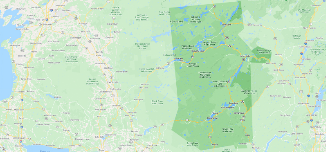
How to get there
Southern trailhead: From the intersection of Route 30, Route 8, and Elm Lake Road, follow Elm Lake Road. Continue to the end of Elm Lake Road, about 9 miles. The road becomes dirt so take your time, especially in cars with low clearance. The trail is at the end of the road.
Northern trailhead: From the intersection of Route 28 and Route 30 in Indian Lake, follow Route 30 toward Speculator for 0.5 mile and turn left on Big Brook Road. Follow that for 6.6 miles to Crotched Pond Road, with a steel bridge on the right. There is a trail marker located here, but no sign. Park here.