


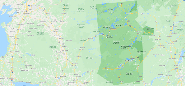
The Otter Brook trail is one of the most remote hikes in this portion of the Adirondack Park. This is a point-to-point thru hike, with a car being spotted at the Cedar River Flow trailhead at Wakely Dam.
Key takeaways
- Distance: 16.3 miles round trip
- Elevation gain: 1,375 feet
- Hike includes trail juctions, water-crossings, and a road walk
Hiking the Otter Brook trail
Only attempt this hike if you are experienced in the backcountry. It is not well marked, requires fording a waterway, and there are trail junctions deep in the forest where a wrong turn can get confusing. Consult maps, talk to someone with experience, and consider going with someone. This trail can be best experienced in a two-day trip. Be prepared and have some backpacking experience before you go.
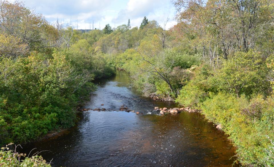
The trail follows the boundary between the Little Moose Mountain Wilderness and the West Canada Lake Wilderness, from Otter Brook Road to Little Moose Lake.Reach Otter Brook at 4.0 miles down the trail, but there is no bridge. Be careful fording the stream, which has deep spots and a noticeable current.
At mile 6.3 the trail connects to the Lost Pond Trail, which leads to the West Canada Lake Wilderness. At nearly 10 miles in, you'll reach the South Branch Moose River, and cross. This is the outlet of Little Moose Lake. After this crossing, you'll bear right at a trail junction, and at around 10.5 miles there's a good spot to camp on Little Moose Lake. At 12 miles there will be another faint junction, where you'll continue right/straight here. At around 12.5 miles in, you'll finally link up with the Northville-Placid Trail. Follow this north to the parking area by Wakely Dam. Along the way, there's a campsite on the western shore of Cedar Flow, and you'll also come up and hike on Cedar River Road.
Otter Brook Trail in the winter
Access to this in the winter is not available, unless via snowmobile. This entire trail is rarely stepped on in the winter, and should be avoided.
Experience more trails in Hamilton County
Does the Otter Brook Trail sound amazing, but a little more than you want to tackle right now? With hundreds of miles of trails, we can help you find the right hike in the big outdoors.
How to get there
From the intersection of Route 28 and Limekiln Road in Inlet follow, Limekiln Road and turn left on Moose River Plains Road. Continue on Moose River Plains Road to Otter Brook Road, which is the second right, and follow it for 3.3 miles to just across the bridge over Otter Brook. Here, right leads to Indian Lake Road, and left is the Otter Brook trail. Park here. You will have to spot a car at the Cedar River Flow parking lot, the end point of this point-to-point thru hike.