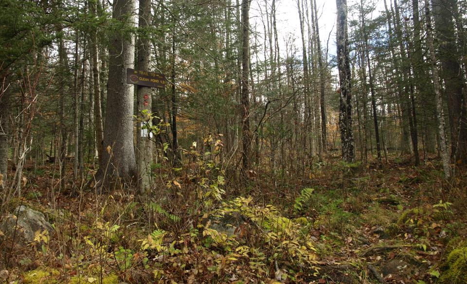
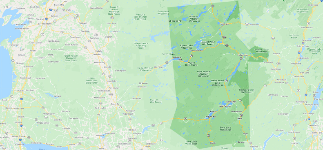
The hike to Clear Pond is located in the Siamese Ponds Wilderness Area and has a remote feel, with not too long of a distance to get there. There is a scenic campsite on the shore.
Key takeaways
- Distance: 2.1 miles round trip
- Elevation gain: 300 feet
- Hike includes trail junctions
Hiking to Clear Pond
The Clear Pond Trail stays relatively flat for over a quarter of a mile before it starts to climb slightly up on the shoulder of a small ridge. There is an old trail that comes in on the right, which leads over to John Pond. If you see it, head left. The trail remains flat once again before a slight descent brings you to the northeast shore of the pond. Overall, the trail is not as easy to follow as a more well-trafficked one elsewhere, but with a map and compass, and being careful at the couple of intersections, you should be able to easily find your way to the pond.
Clear Pond in the winter
Access stays the same in winter, and this is a fine snowshoe hike for those looking for wilderness. Cross-country skiing is also an option, with the final hill to the pond being difficult for beginners. Be prepared for all winter conditions, and take care around frozen bodies of water.
Experience more trails in Hamilton County
Looking to find some more trails to hike in Hamilton County? With hundreds of miles of trails, we can help you find more amazing hikes in the big outdoors.
Fishing
Shore fishing is the only option for this backcountry pond, but there are plenty of spots along the shore as well as rock outcroppings near the outlet on the south side to use to access the open water. To reach the pond you will need to hike. But for those who do, there are brook trout waiting in the waters.
How to get there
From the intersection of Route 30 and Route 28 in Indian Lake, follow Route 30 for a mile to Big Brook Road on the left. Continue to Starbuck Road on the left and follow here. Continue past many private roads and the trailhead will be at the T-intersection right on the corner.


