






Search

This trail to Lower Sargent Pond is only accessible by boat via the Tioga Point State Campground. It's a unique adventure to a pretty destination. Key takeaways Distance: 8.3 miles round trip Elevation change: 590 feet Hike includes trail junctions Hiking to Lower Sargent Pond...
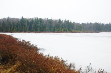
Oswego Pond is gorgeous in late fall. The hike is nearby Twitchell Lake, an area rich with Adirondack history. Key takeaways Distance: 2.3 miles round trip Elevation gain: 500 feet Elevation: 2,150 feet Hike includes trail junctions and a small water crossing Hiking to Oswego Pond Start...
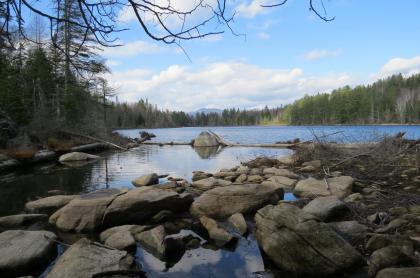
Chain Lakes Road South allows access to a network of dirt roads and trails in parts of the Blue Mountain Wild Forest, Pine Lake Primitive Area, and Hudson Gorge Wilderness Area. Chain Lakes Road South is located in Indian Lake along the border of Hamilton and Essex Counties. Visitors can hike,...
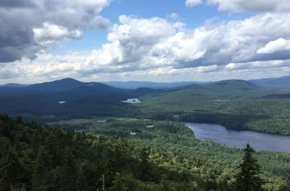
Goodnow is a very prominent peak when seen from Route 28N. This ragged-looking mountain is home to one of the remaining fire towers in the Adirondacks. From the restored fire tower (originally built in 1922), excellent views of the High Peaks can be had. A map, used by former firetower...
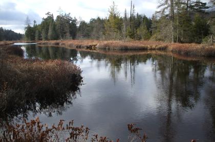
This short hike along a seldom-used trail along Twitchell Creek brings you to Snake Pond, a very pretty backcountry pond in the Fulton Chain Wild Forest. Key takeaways Distance: 1.2 miles round trip Elevation gain: 220 feet Hiking to Snake Pond Start at the wooden sign for Snake...